The Cross-Country Area
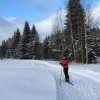
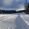
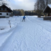
The municipality of Mauth-Finsterau is situated in the middle of the Bavarian Forest holiday region in the immediate vicinity of the Bohemian Forest. Cross-country skiing on one of the 13 cross-country ski trails will allow you to explore the idyllic winter landscape between the two Bavarian Forest National Parks and the Czech Sumava National Park. Three classic cross-country trails and 5 kilometres of skating trails wind their way through the romantic Reschbachtal valley. Together they form the Dreikönigsloipe.
A total of 102.5 kilometres are available for classic cross-country skiing or skating at the Mauth-Finsterau cross-country skiing centre. The Mauth-Finsterau region thus offers the longest network of cross-country trails in the Bavarian Forest. Every Tuesday and Thursday there is an illuminated night trail with a toboggan run available.
The Most Beautiful Tracks
The Dreikönigsloipe is the flagship of the cross-country skiing centre Mauth-Finsterau. It starts at the swimming pond in Mauth and leads first in the direction of the ski lift past the Brotzeitstüberl up to the first smaller forest aisle. From there it goes along the idyllic Reschbachtal valley to the snow bar. There you have the choice between the 5-km-round over the bridge of the Reschbach, the 10-km-round through the Reschbach valley or the 20-km-round through the national park to the Blöchinger saw. At the Hacklreibe in the upper Reschbachtal you also have the possibility to branch off to the Bayerwaldloipe in Finsterau.
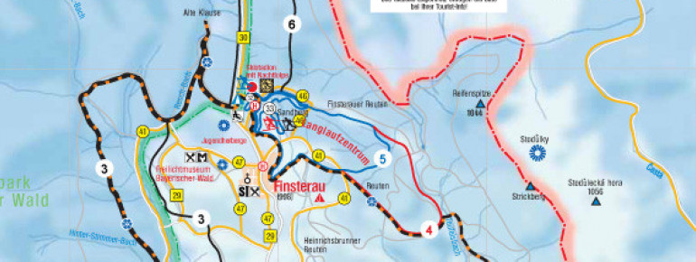
Overview of the cross-country ski runs in the Mauth-Finsterau cross-country skiing centre:
Annathaler Loipe 1 - Sunny trail: 7.5 km / marked red
Dreikönigsloipen - cross-country ski trail 1: 5 km / marked blue
Dreikönigsloipen - Trail 2: 10 km / marked red
Dreikönigsloipen - cross-country trail 3: 20 km / black marked
Finsterauer Loipen - Trail 1: 7 km / marked blue
Finsterauer Loipen - Loipe 2 - Hammerklausenloipe: 10 km / marked red
Finsterauer Loipen - Loipe 3 - Buchwaldloipe: 20 km /marked in black
Skating track Annathal: 1,5 km / runs on a part of the "Sonnenloipe"
Skating track Finsterau: 5 km / from ski stadium, FIS racing track and 2.5 km night track at the same time
Skating track Mauth: 5 km / Start from "Dreikönigsloipe"
Connecting cross-country ski runs to other cross-country skiing areas:
- Connecting track - Dreikönigsloipe to the cross-country skiing centre Freyung-Kreuzberg: 4.5 km / marked red
- Connecting track - Dreikönigsloipe to Schönbrunn: 3.5 km / marked red
- Connecting track - Finsterauer Loipe to Mitterfirmiansreut: 5.5 km / marked black
Interesting facts
- Offering 55 km cross-country trails, Cross Country Center Mauth-Finsterau is among the 15 largest Cross-Country Skiing Areas in Germany.
- Cross Country Center Mauth-Finsterau is the the best rated cross-Country skiing area in Germany.
- The high point of the cross-Country skiing area is located at an elevation of 1,075 m.
- Average snow depth during the season is 39 cm at summit elevation and 23 cm at base elevation. Snow coverage is usually best during February, offering an average snow depth of 45 cm at summit elevation and 28 cm at the base.
- Cross Country Center Mauth-Finsterau features 46 sunny days on average per season. The average for all cross-Country Skiing Areas in Germany is 39 sunny days. February is the sunniest month with an average of 13 sunny days.
Getting Here
By car:
The easiest way to reach the Mauth-Finsterau cross-country skiing centre is via the A3 towards Passau. Leave the motorway at the Aicha vorm Wald exit and follow the main road via Neukirchen, Hutthurm and Freyung to Finsterau.

